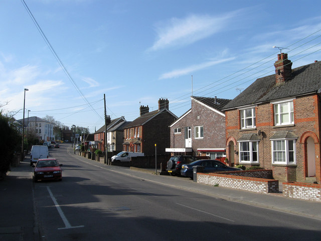
Wivelsfield Road
Introduction
The photograph on this page of Wivelsfield Road by Simon Carey as part of the Geograph project.
The Geograph project started in 2005 with the aim of publishing, organising and preserving representative images for every square kilometre of Great Britain, Ireland and the Isle of Man.
There are currently over 7.5m images from over 14,400 individuals and you can help contribute to the project by visiting https://www.geograph.org.uk

Image: © Simon Carey Taken: 10 Apr 2011
Currently the B2112 but has its origins as a drove road from Ditchling in the south to the large expanse of heath commons at this location prior to the arrival of the railway and subsequent growth of the town. The new building amongst the cottages is the Services Club whilst the big building in the distance is Image This area of Haywards Heath was once part of two parishes, Keymer on the western side of the road, and Wivelsfield on the east.

