The Heath Tavern
Introduction
The photograph on this page of The Heath Tavern by Simon Carey as part of the Geograph project.
The Geograph project started in 2005 with the aim of publishing, organising and preserving representative images for every square kilometre of Great Britain, Ireland and the Isle of Man.

There are currently over 7.5m images from over 14,400 individuals and you can help contribute to the project by visiting https://www.geograph.org.uk
The Heath Tavern
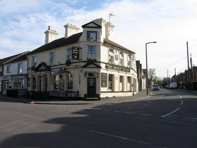
Image: © Simon Carey Taken: 10 Apr 2011
Pub located at the junction of Sussex Road, the B2112, and Triangle Road. The building appears on the 1897 OS map but is not marked as a public house until 1910 most likely opened to serve the growing communities to the west and south.
Images are licensed for reuse under creativecommons.org/licenses/by-sa/2.0
Image Location
Latitude
50.99382
Longitude
-0.100217