Dellney Avenue
Introduction
The photograph on this page of Dellney Avenue by Simon Carey as part of the Geograph project.
The Geograph project started in 2005 with the aim of publishing, organising and preserving representative images for every square kilometre of Great Britain, Ireland and the Isle of Man.

There are currently over 7.5m images from over 14,400 individuals and you can help contribute to the project by visiting https://www.geograph.org.uk
Dellney Avenue
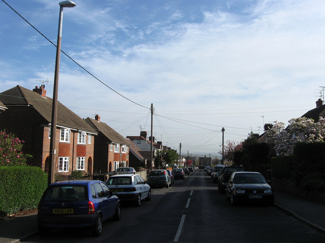
Image: © Simon Carey Taken: 10 Apr 2011
Residential road linking Franklynn Road with Victoria Road. The foreground was originally the site of Petlands Farm which was swallowed by the development of Haywards Heath just after the First World War. The different style of houses on the left are due to the differing development, those further down were constructed before the Second World War, those immediately to the left were built after.
Images are licensed for reuse under creativecommons.org/licenses/by-sa/2.0
Image Location
Latitude
50.993261
Longitude
-0.093542