Footbridge in Raveden Wood
Introduction
The photograph on this page of Footbridge in Raveden Wood by Phil Platt as part of the Geograph project.
The Geograph project started in 2005 with the aim of publishing, organising and preserving representative images for every square kilometre of Great Britain, Ireland and the Isle of Man.

There are currently over 7.5m images from over 14,400 individuals and you can help contribute to the project by visiting https://www.geograph.org.uk
Footbridge in Raveden Wood
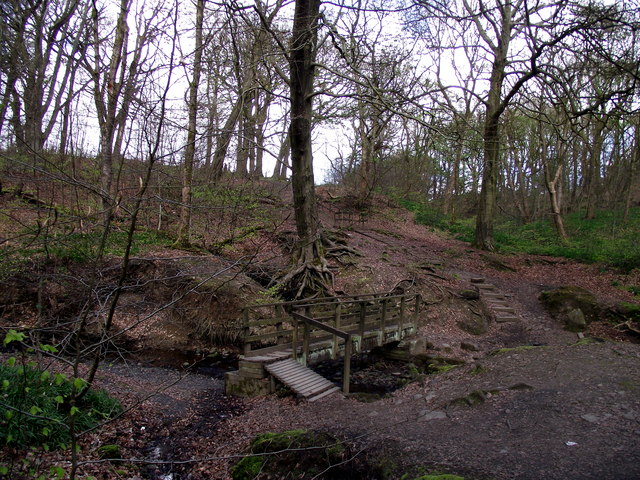
Image: © Phil Platt Taken: 12 Apr 2011
The wood is a nature trail, previously part of the grounds of Smithills Hall, a 16th century manor house.
Images are licensed for reuse under creativecommons.org/licenses/by-sa/2.0
Image Location
Latitude
53.599768
Longitude
-2.447842