Orchard Field
Introduction
The photograph on this page of Orchard Field by Simon Carey as part of the Geograph project.
The Geograph project started in 2005 with the aim of publishing, organising and preserving representative images for every square kilometre of Great Britain, Ireland and the Isle of Man.

There are currently over 7.5m images from over 14,400 individuals and you can help contribute to the project by visiting https://www.geograph.org.uk
Orchard Field
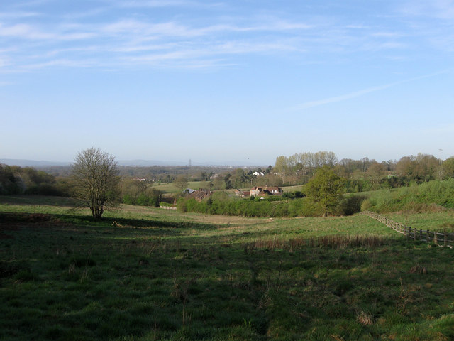
Image: © Simon Carey Taken: 10 Apr 2011
The name of the field according to Wivelsfield's 1843 tithe map whose days are numbered as the Haywards Heath relief road is due to built in the next few years. Its projected route will run from the right of Hospital Farm in the dip below and head straight through the point where I am standing joining the A272 at the current junction with Hurstwood Lane.
Images are licensed for reuse under creativecommons.org/licenses/by-sa/2.0
Image Location
Latitude
50.986841
Longitude
-0.091383