Carthouse Plot
Introduction
The photograph on this page of Carthouse Plot by Simon Carey as part of the Geograph project.
The Geograph project started in 2005 with the aim of publishing, organising and preserving representative images for every square kilometre of Great Britain, Ireland and the Isle of Man.

There are currently over 7.5m images from over 14,400 individuals and you can help contribute to the project by visiting https://www.geograph.org.uk
Carthouse Plot
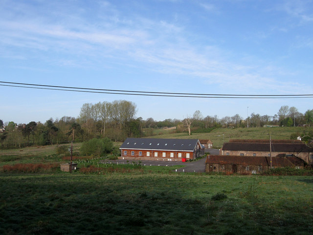
Image: © Simon Carey Taken: 10 Apr 2011
The name of the field according to Wivelsfield's 1843 tithe map with the buildings of Hospital Farm in the dip. This view will change in the next year or two as the Haywards Heath relief road will be built beyond the former farm buildings. The farm itself was originally known as Hurst Farm but was purchased by the newly constructed St Francis Hospital in the 1860s to provide both food and work for their patients. Known as Asylum Farm before its present name it became redundant in 1970 when laws were changed preventing patients from working. It is now a small business park.
Images are licensed for reuse under creativecommons.org/licenses/by-sa/2.0
Image Location
Latitude
50.985594
Longitude
-0.092146