Old Pump House
Introduction
The photograph on this page of Old Pump House by Simon Carey as part of the Geograph project.
The Geograph project started in 2005 with the aim of publishing, organising and preserving representative images for every square kilometre of Great Britain, Ireland and the Isle of Man.

There are currently over 7.5m images from over 14,400 individuals and you can help contribute to the project by visiting https://www.geograph.org.uk
Old Pump House
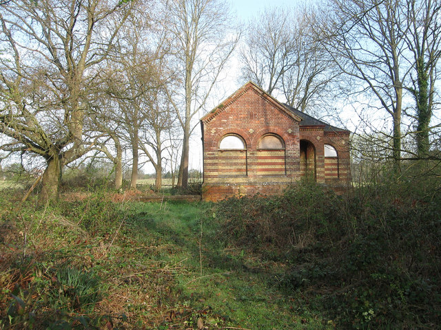
Image: © Simon Carey Taken: 10 Apr 2011
Just off Hurstwood Lane near the junction with Colwell Lane. Not sure if it is still in use, however, it lies near the source of Pellingford Brook a tributary of the River Ouse.
Images are licensed for reuse under creativecommons.org/licenses/by-sa/2.0
Image Location
Latitude
50.983203
Longitude
-0.094382