Mossy laneside bank
Introduction
The photograph on this page of Mossy laneside bank by Rob Farrow as part of the Geograph project.
The Geograph project started in 2005 with the aim of publishing, organising and preserving representative images for every square kilometre of Great Britain, Ireland and the Isle of Man.

There are currently over 7.5m images from over 14,400 individuals and you can help contribute to the project by visiting https://www.geograph.org.uk
Mossy laneside bank
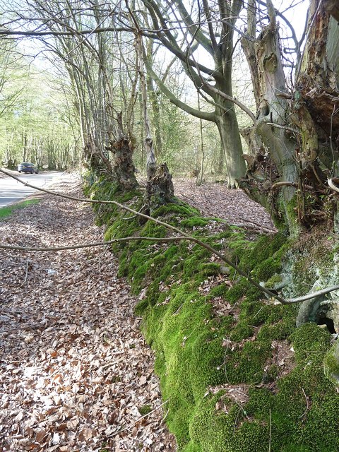
Image: © Rob Farrow Taken: 6 Apr 2011
Kiln Road, which runs between a point near Cholesbury and Image] has High Scrubs on its lefthand side (see Image]) and Roundhill Wood on the right. The mossy bank seen here separates the lane from this latter wood and has various trees sprouting from its ridge.
Images are licensed for reuse under creativecommons.org/licenses/by-sa/2.0
Image Location
Latitude
51.764087
Longitude
-0.649306