High Scrubs path
Introduction
The photograph on this page of High Scrubs path by Rob Farrow as part of the Geograph project.
The Geograph project started in 2005 with the aim of publishing, organising and preserving representative images for every square kilometre of Great Britain, Ireland and the Isle of Man.

There are currently over 7.5m images from over 14,400 individuals and you can help contribute to the project by visiting https://www.geograph.org.uk
High Scrubs path
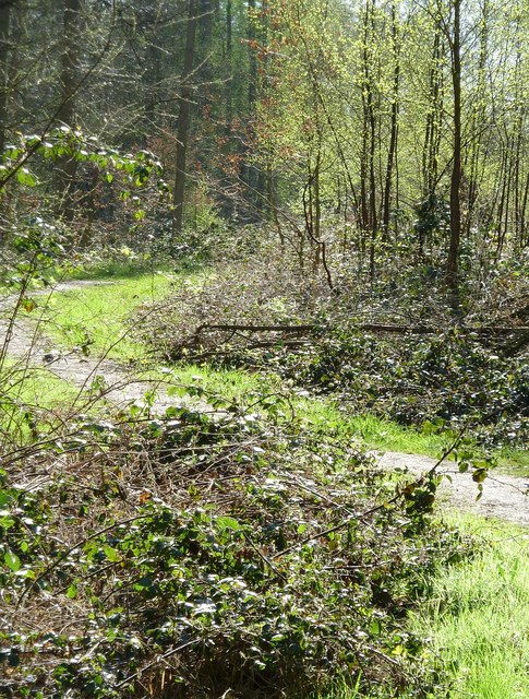
Image: © Rob Farrow Taken: 6 Apr 2011
A footpath is seen snaking into the southern part of High Scrubs, the wood that lies between Kiln Road and Shire Lane, with Browns Lane running through the middle of it. (see Image], Image] & Image])
Images are licensed for reuse under creativecommons.org/licenses/by-sa/2.0
Image Location
Latitude
51.764283
Longitude
-0.650749