Car Park, Fox and Hounds, Fox Hill
Introduction
The photograph on this page of Car Park, Fox and Hounds, Fox Hill by Simon Carey as part of the Geograph project.
The Geograph project started in 2005 with the aim of publishing, organising and preserving representative images for every square kilometre of Great Britain, Ireland and the Isle of Man.

There are currently over 7.5m images from over 14,400 individuals and you can help contribute to the project by visiting https://www.geograph.org.uk
Car Park, Fox and Hounds, Fox Hill
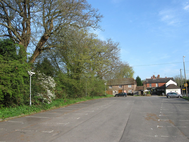
Image: © Simon Carey Taken: 10 Apr 2011
Originally part of a small common known as Jeffreys Green that surrounded an old crossroads; the old north-south droveway that is now the modern B2112, Hurstwood Lane heading east, and another route that is now just a footpath going west. The first named route was turnpiked in 1770 as part of a main London-Brighton route which I'm guessing would be the origins of the Fox and Hound at the far end. Also constructed in what is now the car park was a toll house known as Cleavewaters after the nearby farm and marked on the 1875 OS map. By the next edition in 1899 it had gone.
Images are licensed for reuse under creativecommons.org/licenses/by-sa/2.0
Image Location
Latitude
50.980998
Longitude
-0.097036