Road up!
Introduction
The photograph on this page of Road up! by Neil Owen as part of the Geograph project.
The Geograph project started in 2005 with the aim of publishing, organising and preserving representative images for every square kilometre of Great Britain, Ireland and the Isle of Man.

There are currently over 7.5m images from over 14,400 individuals and you can help contribute to the project by visiting https://www.geograph.org.uk
Road up!
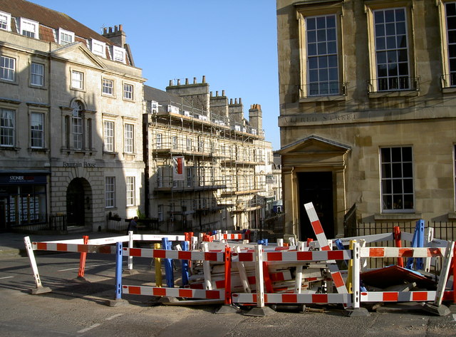
Image: © Neil Owen Taken: 8 Apr 2011
The junction of Lansdown Road and Albert Street, Bath. Clearly lots of work is being carried out in various ways. See Image] for the benchmark located on the corner.
Images are licensed for reuse under creativecommons.org/licenses/by-sa/2.0
Image Location
Latitude
51.385917
Longitude
-2.361365