Countryside near Hartwell Hill Farm
Introduction
The photograph on this page of Countryside near Hartwell Hill Farm by Rob Farrow as part of the Geograph project.
The Geograph project started in 2005 with the aim of publishing, organising and preserving representative images for every square kilometre of Great Britain, Ireland and the Isle of Man.

There are currently over 7.5m images from over 14,400 individuals and you can help contribute to the project by visiting https://www.geograph.org.uk
Countryside near Hartwell Hill Farm
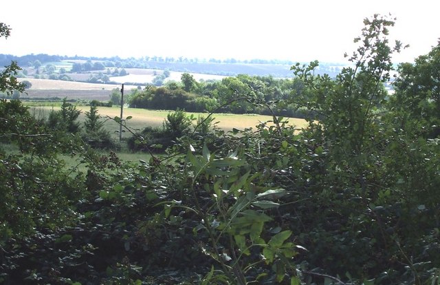
Image: © Rob Farrow Taken: 7 Sep 2006
The lane to Dunton from the A413 just cuts the NW corner of this gridsquare. This view is taken from that lane looking SE across the entire gridsquare, which is open countryside and farmland.
Images are licensed for reuse under creativecommons.org/licenses/by-sa/2.0
Image Location


Leaflet Map data © OpenStreetMap
Latitude
51.898769
Longitude
-0.824187