Lower Broadbridge Farm
Introduction
The photograph on this page of Lower Broadbridge Farm by Andy Potter as part of the Geograph project.
The Geograph project started in 2005 with the aim of publishing, organising and preserving representative images for every square kilometre of Great Britain, Ireland and the Isle of Man.

There are currently over 7.5m images from over 14,400 individuals and you can help contribute to the project by visiting https://www.geograph.org.uk
Lower Broadbridge Farm
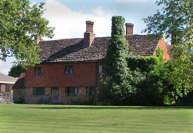
Image: © Andy Potter Taken: 7 Sep 2006
One of the oldest buildings in Broadbridge Heath. Now separated from the village by the A281. Photograph taken from footpath 1454.
Images are licensed for reuse under creativecommons.org/licenses/by-sa/2.0
Image Location


Leaflet Map data © OpenStreetMap
Latitude
51.070031
Longitude
-0.370867