Hut Field
Introduction
The photograph on this page of Hut Field by Simon Carey as part of the Geograph project.
The Geograph project started in 2005 with the aim of publishing, organising and preserving representative images for every square kilometre of Great Britain, Ireland and the Isle of Man.

There are currently over 7.5m images from over 14,400 individuals and you can help contribute to the project by visiting https://www.geograph.org.uk
Hut Field
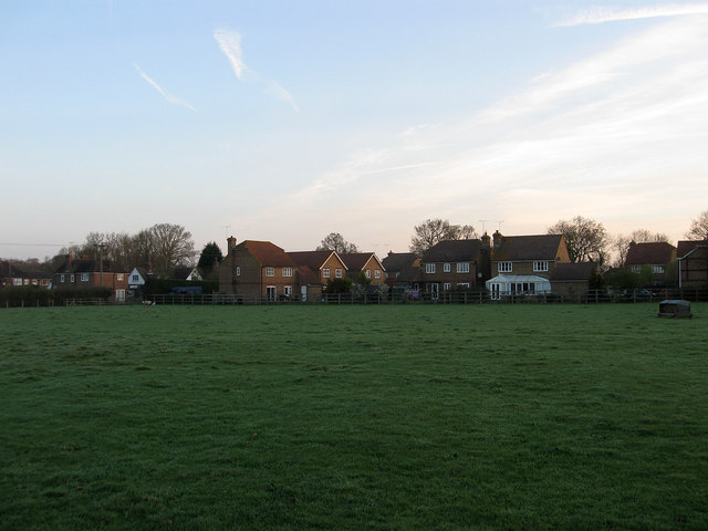
Image: © Simon Carey Taken: 10 Apr 2011
The name of the field according to Wivelsfield's 1843 tithe map that has been extended to include Image to the south. The houses at the end of the field are in a modern cul-de-sac called Blackmores built on the site of Blackmores Farm which disappeared in the 1960s to be initially replaced by an abattoir prior to the estate being built about a decade a go.
Images are licensed for reuse under creativecommons.org/licenses/by-sa/2.0
Image Location
Latitude
50.966592
Longitude
-0.090504