Sailing on Bardowie Loch
Introduction
The photograph on this page of Sailing on Bardowie Loch by Samuel Torbet as part of the Geograph project.
The Geograph project started in 2005 with the aim of publishing, organising and preserving representative images for every square kilometre of Great Britain, Ireland and the Isle of Man.

There are currently over 7.5m images from over 14,400 individuals and you can help contribute to the project by visiting https://www.geograph.org.uk
Sailing on Bardowie Loch
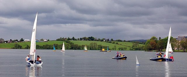
Image: © Samuel Torbet Taken: 20 May 2006
It is thought that the loch was created after the Romans quarried the area for stone to build the nearby Antonine wall. It is currently used for dinghy sailing by the Clyde Cruising Club.
Images are licensed for reuse under creativecommons.org/licenses/by-sa/2.0
Image Location
Latitude
55.934511
Longitude
-4.269901