
Middle Rocombe Musgrave Heritage Trail
Introduction
The photograph on this page of Middle Rocombe Musgrave Heritage Trail by Colin Vosper as part of the Geograph project.
The Geograph project started in 2005 with the aim of publishing, organising and preserving representative images for every square kilometre of Great Britain, Ireland and the Isle of Man.

There are currently over 7.5m images from over 14,400 individuals and you can help contribute to the project by visiting https://www.geograph.org.uk
Middle Rocombe Musgrave Heritage Trail
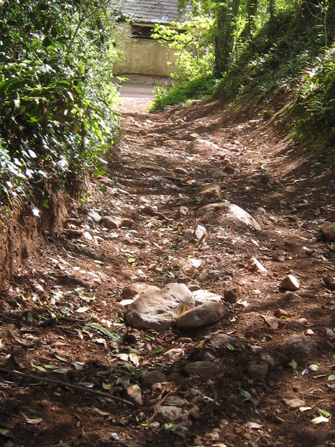
Image: © Colin Vosper Taken: 11 Apr 2011
This stretch of footpath must be a candidate for one of the least "walker friendly" heritage trails even though it is a designated public footpath. The surface is clearly pounded regularly by off road vehicles and scoured by water run-off so that this track has become positively dangerous and is naturally steep .... consequently you need good balance, luck and something to hang on to as you slip and slide along this track.
Images are licensed for reuse under creativecommons.org/licenses/by-sa/2.0
Image Location

Latitude
50.513826
Longitude
-3.54055