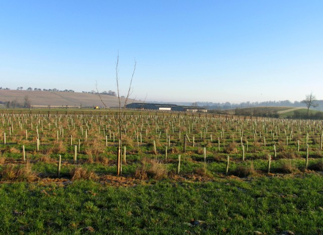
Rosemore Farm
Introduction
The photograph on this page of Rosemore Farm by Andrew Tatlow as part of the Geograph project.
The Geograph project started in 2005 with the aim of publishing, organising and preserving representative images for every square kilometre of Great Britain, Ireland and the Isle of Man.
There are currently over 7.5m images from over 14,400 individuals and you can help contribute to the project by visiting https://www.geograph.org.uk

Image: © Andrew Tatlow Taken: 16 Nov 2010
The 2 large buildings total about 1500 square metres; planning permission was originally granted for several "large scale buildings and structures" totalling 4404 square metres; only these were completed. A new planning application was made for a total of 2036 square metres comprising the completed buildings and the new Rosemore farmhouse and was granted despite it being "contrary to policy". See Melton Borough Council Planning Application 08/00911/FUL made on 13 November 2008. There was a requirement for landscaping and tree planting to be done before the new farmhouse was built; there was also a requirement that plants that failed or suffered damage should be renewed for at least 5 years following completion of the farmhouse. See Image

