Big hedge near Ottery St Mary
Introduction
The photograph on this page of Big hedge near Ottery St Mary by Derek Harper as part of the Geograph project.
The Geograph project started in 2005 with the aim of publishing, organising and preserving representative images for every square kilometre of Great Britain, Ireland and the Isle of Man.

There are currently over 7.5m images from over 14,400 individuals and you can help contribute to the project by visiting https://www.geograph.org.uk
Big hedge near Ottery St Mary
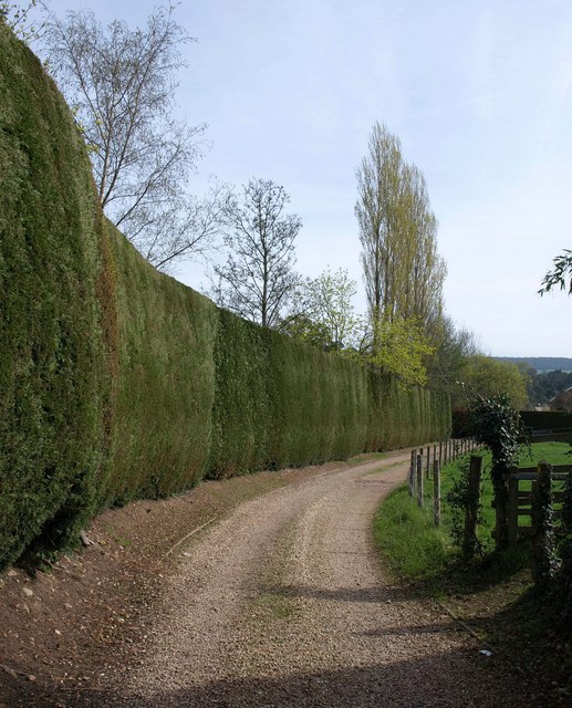
Image: © Derek Harper Taken: 6 Apr 2011
An impressively high hedge preventing anyone from getting a view of Thorne Farm. Seen from Ottery St Mary Footpath 25, which sidles innocuously through the gate on the right.
Images are licensed for reuse under creativecommons.org/licenses/by-sa/2.0
Image Location
Latitude
50.752191
Longitude
-3.293191