Roundwood Farm
Introduction
The photograph on this page of Roundwood Farm by Graham Horn as part of the Geograph project.
The Geograph project started in 2005 with the aim of publishing, organising and preserving representative images for every square kilometre of Great Britain, Ireland and the Isle of Man.

There are currently over 7.5m images from over 14,400 individuals and you can help contribute to the project by visiting https://www.geograph.org.uk
Roundwood Farm
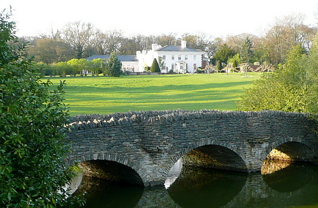
Image: © Graham Horn Taken: 7 Apr 2011
The main house is situated on a small hill with a good view to the south overlooking this lake. The access road crossing the bridge is private. Viewed from the bridleway that runs to the south.
Images are licensed for reuse under creativecommons.org/licenses/by-sa/2.0
Image Location


Leaflet Map data © OpenStreetMap
Latitude
51.202862
Longitude
-1.274263