Tame Valley, Birmingham
Introduction
The photograph on this page of Tame Valley, Birmingham by Michael Westley as part of the Geograph project.
The Geograph project started in 2005 with the aim of publishing, organising and preserving representative images for every square kilometre of Great Britain, Ireland and the Isle of Man.

There are currently over 7.5m images from over 14,400 individuals and you can help contribute to the project by visiting https://www.geograph.org.uk
Tame Valley, Birmingham
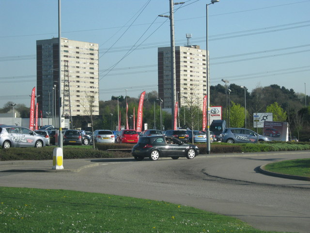
Image: © Michael Westley Taken: 8 Apr 2011
Island junction of Wingfoot Way / Close, near to car showrooms. Beyond A47, railway and M6 motorway, the blocks of flats on Bromford Drive
Images are licensed for reuse under creativecommons.org/licenses/by-sa/2.0
Image Location
Latitude
52.508297
Longitude
-1.820207