Hauxton: former village shop
Introduction
The photograph on this page of Hauxton: former village shop by John Sutton as part of the Geograph project.
The Geograph project started in 2005 with the aim of publishing, organising and preserving representative images for every square kilometre of Great Britain, Ireland and the Isle of Man.

There are currently over 7.5m images from over 14,400 individuals and you can help contribute to the project by visiting https://www.geograph.org.uk
Hauxton: former village shop
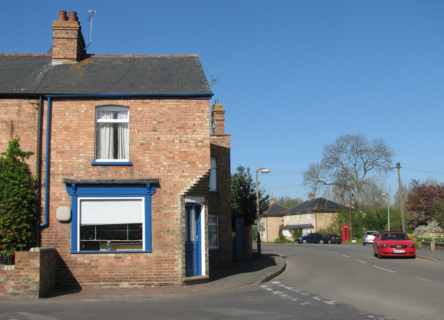
Image: © John Sutton Taken: 8 Apr 2011
This rather urban-looking red-brick terrace would be quite at home in (say) a Leicestershire hosiery village, and looks slightly out of place in plaster-and-thatch South Cambridgeshire. The Lane is to the left and Church Road (leading to Trumpington and Cambridge) straight ahead. The picture was taken from the corner of the village green on a sparkling spring morning.
Images are licensed for reuse under creativecommons.org/licenses/by-sa/2.0
Image Location
Latitude
52.148405
Longitude
0.103915