The road north to Durness adjacent to Gualin House
Introduction
The photograph on this page of The road north to Durness adjacent to Gualin House by Clive Nicholson as part of the Geograph project.
The Geograph project started in 2005 with the aim of publishing, organising and preserving representative images for every square kilometre of Great Britain, Ireland and the Isle of Man.

There are currently over 7.5m images from over 14,400 individuals and you can help contribute to the project by visiting https://www.geograph.org.uk
The road north to Durness adjacent to Gualin House
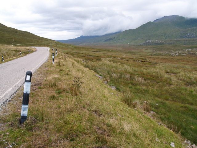
Image: © Clive Nicholson Taken: 25 Aug 2006
Strath Dionard valley taking the River Dionard to the Kyle of Durness.
Images are licensed for reuse under creativecommons.org/licenses/by-sa/2.0
Image Location


Leaflet Map data © OpenStreetMap
Latitude
58.464747
Longitude
-4.902352