Farmland at Egypt
Introduction
The photograph on this page of Farmland at Egypt by Graham Horn as part of the Geograph project.
The Geograph project started in 2005 with the aim of publishing, organising and preserving representative images for every square kilometre of Great Britain, Ireland and the Isle of Man.

There are currently over 7.5m images from over 14,400 individuals and you can help contribute to the project by visiting https://www.geograph.org.uk
Farmland at Egypt
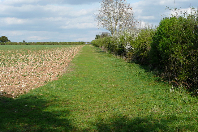
Image: © Graham Horn Taken: 7 Apr 2011
A public footpath runs along the western edge of this field, with the houses of Alexandria Road behind. This view is east, along the inside of the hedge line of the former A30.
Images are licensed for reuse under creativecommons.org/licenses/by-sa/2.0
Image Location
Latitude
51.158591
Longitude
-1.329583