A12 Wickham Market Bypass
Introduction
The photograph on this page of A12 Wickham Market Bypass by Geographer as part of the Geograph project.
The Geograph project started in 2005 with the aim of publishing, organising and preserving representative images for every square kilometre of Great Britain, Ireland and the Isle of Man.

There are currently over 7.5m images from over 14,400 individuals and you can help contribute to the project by visiting https://www.geograph.org.uk
A12 Wickham Market Bypass
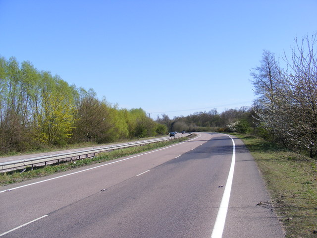
Image: © Geographer Taken: 8 Apr 2011
Looking towards Lower Hacheston near the footpaths to Lower Ufford Road & B1438 Yarmouth Road
Images are licensed for reuse under creativecommons.org/licenses/by-sa/2.0
Image Location
Latitude
52.136643
Longitude
1.363302