Stone Garth
Introduction
The photograph on this page of Stone Garth by Pauline E as part of the Geograph project.
The Geograph project started in 2005 with the aim of publishing, organising and preserving representative images for every square kilometre of Great Britain, Ireland and the Isle of Man.

There are currently over 7.5m images from over 14,400 individuals and you can help contribute to the project by visiting https://www.geograph.org.uk
Stone Garth
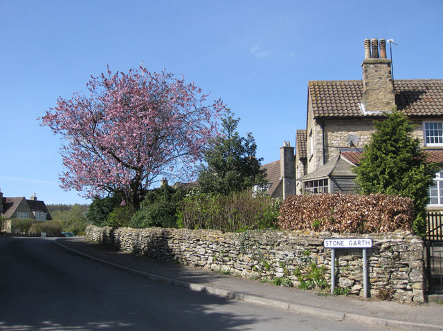
Image: © Pauline E Taken: 7 Apr 2011
Cul de sac of houses off Canons Garth Lane.
Images are licensed for reuse under creativecommons.org/licenses/by-sa/2.0
Image Location
Latitude
54.24784
Longitude
-1.062558