Ready for demolition
Introduction
The photograph on this page of Ready for demolition by Carl Baker as part of the Geograph project.
The Geograph project started in 2005 with the aim of publishing, organising and preserving representative images for every square kilometre of Great Britain, Ireland and the Isle of Man.

There are currently over 7.5m images from over 14,400 individuals and you can help contribute to the project by visiting https://www.geograph.org.uk
Ready for demolition
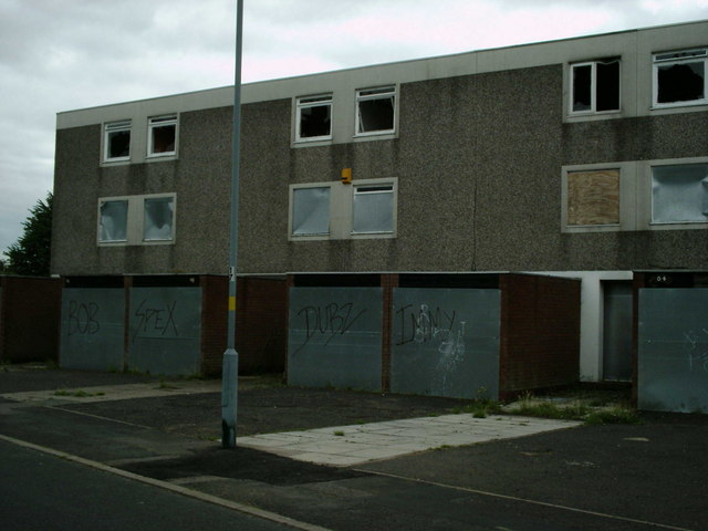
Image: © Carl Baker Taken: 5 Sep 2006
These late 1960s houses on Alma Way are now ready for demolition.
Images are licensed for reuse under creativecommons.org/licenses/by-sa/2.0
Image Location
Latitude
52.502458
Longitude
-1.899781