The Sandlings Walk Path
Introduction
The photograph on this page of The Sandlings Walk Path by Chris Holifield as part of the Geograph project.
The Geograph project started in 2005 with the aim of publishing, organising and preserving representative images for every square kilometre of Great Britain, Ireland and the Isle of Man.

There are currently over 7.5m images from over 14,400 individuals and you can help contribute to the project by visiting https://www.geograph.org.uk
The Sandlings Walk Path
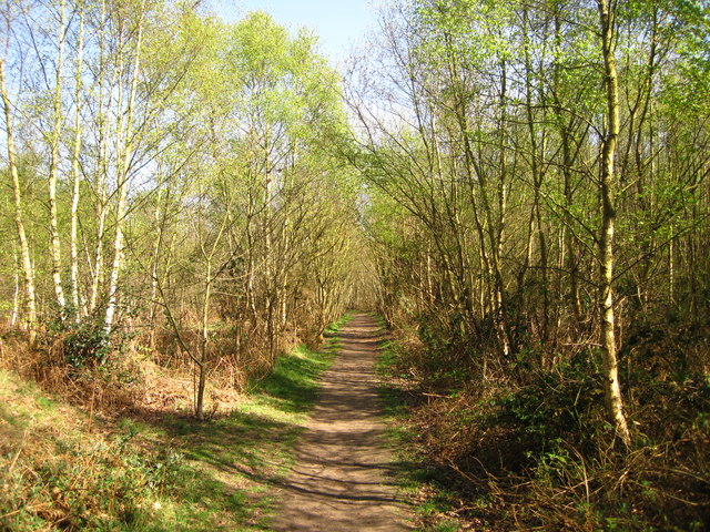
Image: © Chris Holifield Taken: 8 Apr 2011
I believe this area of coppiced woodland is called Doctor Britton's wood
Images are licensed for reuse under creativecommons.org/licenses/by-sa/2.0
Image Location
Latitude
52.067901
Longitude
1.284575