Demolished Houses
Introduction
The photograph on this page of Demolished Houses by Linda Bailey as part of the Geograph project.
The Geograph project started in 2005 with the aim of publishing, organising and preserving representative images for every square kilometre of Great Britain, Ireland and the Isle of Man.

There are currently over 7.5m images from over 14,400 individuals and you can help contribute to the project by visiting https://www.geograph.org.uk
Demolished Houses
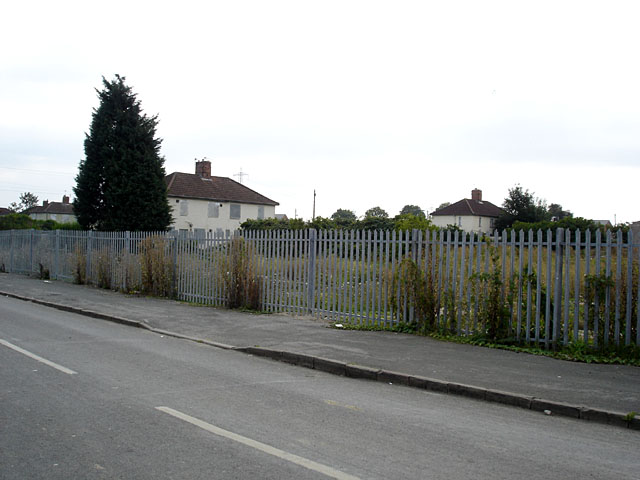
Image: © Linda Bailey Taken: 6 Sep 2006
This photo is taken from the same spot as Image] and shows that the house has been demolished (although the tree remains).
Images are licensed for reuse under creativecommons.org/licenses/by-sa/2.0
Image Location
Latitude
51.499096
Longitude
-2.571002