The A518 on the edge of Stafford
Introduction
The photograph on this page of The A518 on the edge of Stafford by Bill Boaden as part of the Geograph project.
The Geograph project started in 2005 with the aim of publishing, organising and preserving representative images for every square kilometre of Great Britain, Ireland and the Isle of Man.

There are currently over 7.5m images from over 14,400 individuals and you can help contribute to the project by visiting https://www.geograph.org.uk
The A518 on the edge of Stafford
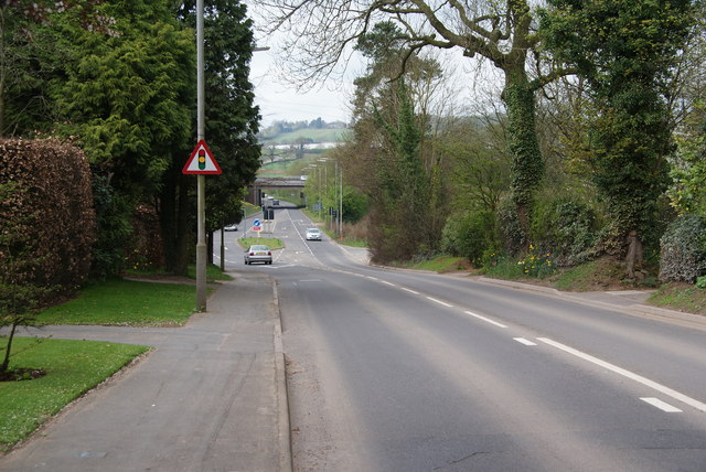
Image: © Bill Boaden Taken: 2 Apr 2011
The M6 can be seen ahead but there is no junction with it here.
Images are licensed for reuse under creativecommons.org/licenses/by-sa/2.0
Image Location
Latitude
52.793855
Longitude
-2.146922