Clayland Cross Road Widening
Introduction
The photograph on this page of Clayland Cross Road Widening by Tom Jolliffe as part of the Geograph project.
The Geograph project started in 2005 with the aim of publishing, organising and preserving representative images for every square kilometre of Great Britain, Ireland and the Isle of Man.

There are currently over 7.5m images from over 14,400 individuals and you can help contribute to the project by visiting https://www.geograph.org.uk
Clayland Cross Road Widening
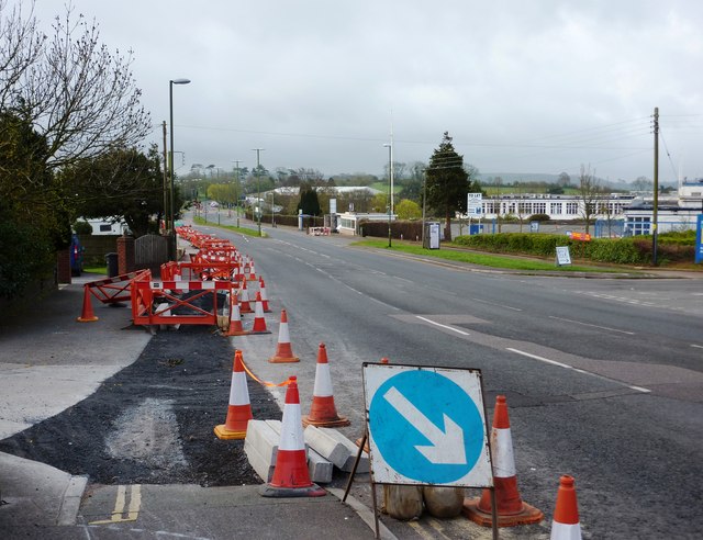
Image: © Tom Jolliffe Taken: 3 Apr 2011
The road widening which runs from Tweenaway Cross up to the South Devon College vicinity can be seen here towards its end near the South Devon College turning off the ring road which is to the right ahead.
Images are licensed for reuse under creativecommons.org/licenses/by-sa/2.0
Image Location
Latitude
50.415449
Longitude
-3.579724