Left for Ynysddu at the Gelligroes Roundabout, Pontllanfraith
Introduction
The photograph on this page of Left for Ynysddu at the Gelligroes Roundabout, Pontllanfraith by Jaggery as part of the Geograph project.
The Geograph project started in 2005 with the aim of publishing, organising and preserving representative images for every square kilometre of Great Britain, Ireland and the Isle of Man.

There are currently over 7.5m images from over 14,400 individuals and you can help contribute to the project by visiting https://www.geograph.org.uk
Left for Ynysddu at the Gelligroes Roundabout, Pontllanfraith
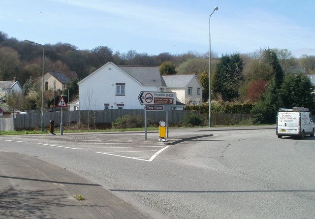
Image: © Jaggery Taken: 7 Apr 2011
Viewed from the edge of the A472. The B4251 (Newport Road) heads south from Gelligroes Roundabout towards Ynysddu and the Sirhowy Valley Country Park.
Images are licensed for reuse under creativecommons.org/licenses/by-sa/2.0
Image Location
Latitude
51.645038
Longitude
-3.192268