Clayland Cross Widening Scheme
Introduction
The photograph on this page of Clayland Cross Widening Scheme by Tom Jolliffe as part of the Geograph project.
The Geograph project started in 2005 with the aim of publishing, organising and preserving representative images for every square kilometre of Great Britain, Ireland and the Isle of Man.

There are currently over 7.5m images from over 14,400 individuals and you can help contribute to the project by visiting https://www.geograph.org.uk
Clayland Cross Widening Scheme
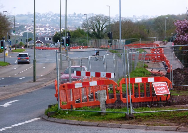
Image: © Tom Jolliffe Taken: 3 Apr 2011
The extent of the road widening can be seen extending back towards the Roselands estate which is behind the photographer and on the right.
Images are licensed for reuse under creativecommons.org/licenses/by-sa/2.0
Image Location
Latitude
50.423796
Longitude
-3.587604