Lower footpath in The Lynch
Introduction
The photograph on this page of Lower footpath in The Lynch by David Anstiss as part of the Geograph project.
The Geograph project started in 2005 with the aim of publishing, organising and preserving representative images for every square kilometre of Great Britain, Ireland and the Isle of Man.

There are currently over 7.5m images from over 14,400 individuals and you can help contribute to the project by visiting https://www.geograph.org.uk
Lower footpath in The Lynch
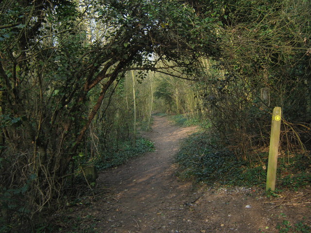
Image: © David Anstiss Taken: 27 Mar 2011
Two footpaths lead through The Lynch (wood on the edge of a field). One on the bottom of a ridge and one at the top of the ridge (also in the wood). Another footpath heads right to climb the ridge towards the higher path! It also leads left (out of the wood) and heads towards Ringwould.
Images are licensed for reuse under creativecommons.org/licenses/by-sa/2.0
Image Location
Latitude
51.177891
Longitude
1.375716