Dale Terrace
Introduction
The photograph on this page of Dale Terrace by Oliver Dixon as part of the Geograph project.
The Geograph project started in 2005 with the aim of publishing, organising and preserving representative images for every square kilometre of Great Britain, Ireland and the Isle of Man.

There are currently over 7.5m images from over 14,400 individuals and you can help contribute to the project by visiting https://www.geograph.org.uk
Dale Terrace
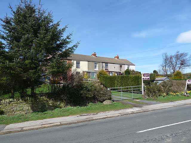
Image: © Oliver Dixon Taken: 6 Apr 2011
A row of miner's cottages in a very isolated position on the B6282.
Images are licensed for reuse under creativecommons.org/licenses/by-sa/2.0
Image Location
Latitude
54.619852
Longitude
-1.920678