Lutterburn Street, Ugborough
Introduction
The photograph on this page of Lutterburn Street, Ugborough by Derek Harper as part of the Geograph project.
The Geograph project started in 2005 with the aim of publishing, organising and preserving representative images for every square kilometre of Great Britain, Ireland and the Isle of Man.

There are currently over 7.5m images from over 14,400 individuals and you can help contribute to the project by visiting https://www.geograph.org.uk
Lutterburn Street, Ugborough
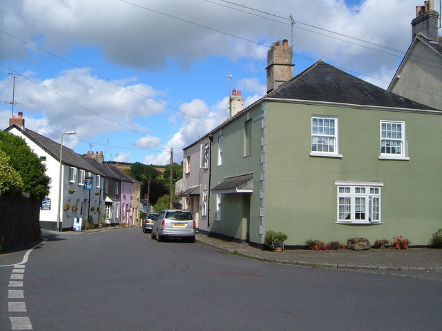
Image: © Derek Harper Taken: 29 Aug 2006
The street leaves the north end of the village square, heading ENE down to cross a stream, past the Anchor Inn, seen on the left. Anchor Inn, Ship Inn - clearly Ugborough, nearly 10 miles from the nearest port, has had a great affinity for the sea.
Images are licensed for reuse under creativecommons.org/licenses/by-sa/2.0
Image Location
Latitude
50.387531
Longitude
-3.861835