South Godstone
Introduction
The photograph on this page of South Godstone by Nigel Freeman as part of the Geograph project.
The Geograph project started in 2005 with the aim of publishing, organising and preserving representative images for every square kilometre of Great Britain, Ireland and the Isle of Man.

There are currently over 7.5m images from over 14,400 individuals and you can help contribute to the project by visiting https://www.geograph.org.uk
South Godstone
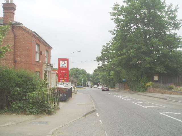
Image: © Nigel Freeman Taken: 3 Jul 2005
South Godstone is 3 miles south of Godstone village and developed when the Tonbridge railway line was built in the 19th century.
Images are licensed for reuse under creativecommons.org/licenses/by-sa/2.0
Image Location
Latitude
51.219435
Longitude
-0.049702