The site of Burleyfields
Introduction
The photograph on this page of The site of Burleyfields by Bill Boaden as part of the Geograph project.
The Geograph project started in 2005 with the aim of publishing, organising and preserving representative images for every square kilometre of Great Britain, Ireland and the Isle of Man.

There are currently over 7.5m images from over 14,400 individuals and you can help contribute to the project by visiting https://www.geograph.org.uk
The site of Burleyfields
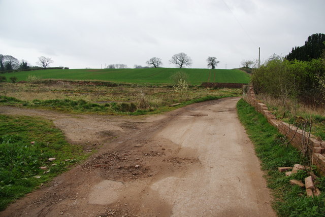
Image: © Bill Boaden Taken: 2 Apr 2011
It must have been fairly recently demolished as it is shown on most maps still.
Images are licensed for reuse under creativecommons.org/licenses/by-sa/2.0
Image Location
Latitude
52.806802
Longitude
-2.145037