Former Council Streetworks Depot
Introduction
The photograph on this page of Former Council Streetworks Depot by Michael Westley as part of the Geograph project.
The Geograph project started in 2005 with the aim of publishing, organising and preserving representative images for every square kilometre of Great Britain, Ireland and the Isle of Man.

There are currently over 7.5m images from over 14,400 individuals and you can help contribute to the project by visiting https://www.geograph.org.uk
Former Council Streetworks Depot
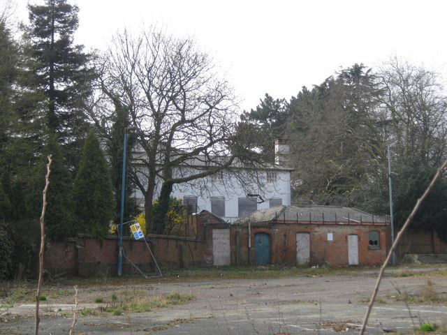
Image: © Michael Westley Taken: 27 Mar 2011
On Spring Lane, Erdington, behind Rookery House (in picture), open space where once was a major Birmingham Council depot
Images are licensed for reuse under creativecommons.org/licenses/by-sa/2.0
Image Location
Latitude
52.517398
Longitude
-1.834317