Rookery House, Erdington
Introduction
The photograph on this page of Rookery House, Erdington by Michael Westley as part of the Geograph project.
The Geograph project started in 2005 with the aim of publishing, organising and preserving representative images for every square kilometre of Great Britain, Ireland and the Isle of Man.

There are currently over 7.5m images from over 14,400 individuals and you can help contribute to the project by visiting https://www.geograph.org.uk
Rookery House, Erdington
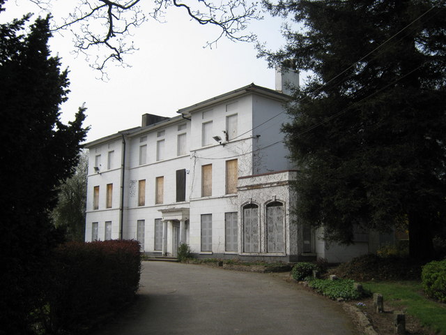
Image: © Michael Westley Taken: 27 Mar 2011
Another historic house awaiting funding for restoration, alongside popular park south of Erdington, and with well-kept and quiet gardens. House not open to public - but interesting website - http://www.rookery-house.co.uk
Images are licensed for reuse under creativecommons.org/licenses/by-sa/2.0
Image Location
Latitude
52.517488
Longitude
-1.834759