Worthing Road - old course
Introduction
The photograph on this page of Worthing Road - old course by Robin Webster as part of the Geograph project.
The Geograph project started in 2005 with the aim of publishing, organising and preserving representative images for every square kilometre of Great Britain, Ireland and the Isle of Man.

There are currently over 7.5m images from over 14,400 individuals and you can help contribute to the project by visiting https://www.geograph.org.uk
Worthing Road - old course
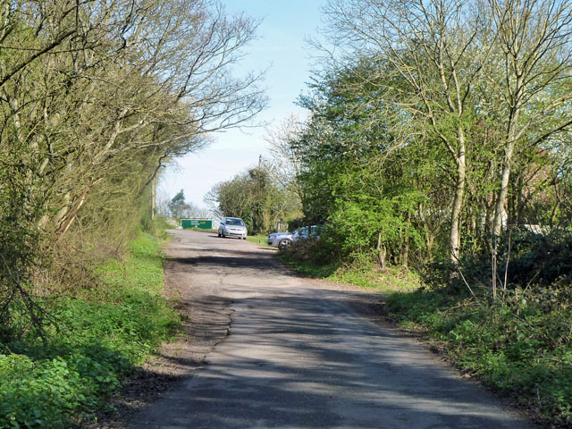
Image: © Robin Webster Taken: 6 Apr 2011
A small loop off the A24 dual carriageway serving a few houses. This was the original course of the road, but the width may have been reduced, as the road is mapped coming this way when it was already classified as an A road.
Images are licensed for reuse under creativecommons.org/licenses/by-sa/2.0
Image Location
Latitude
50.988224
Longitude
-0.340962