Side track heads away from National Cycle Route 49, Malpas, Newport
Introduction
The photograph on this page of Side track heads away from National Cycle Route 49, Malpas, Newport by Jaggery as part of the Geograph project.
The Geograph project started in 2005 with the aim of publishing, organising and preserving representative images for every square kilometre of Great Britain, Ireland and the Isle of Man.

There are currently over 7.5m images from over 14,400 individuals and you can help contribute to the project by visiting https://www.geograph.org.uk
Side track heads away from National Cycle Route 49, Malpas, Newport
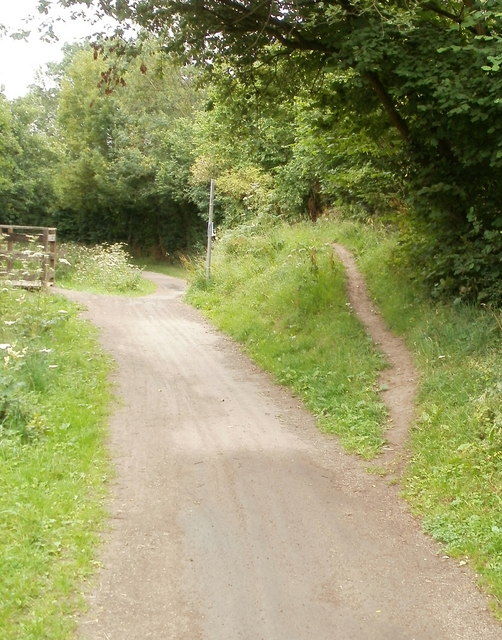
Image: © Jaggery Taken: 30 Jul 2010
A narrow track heads away from the disused Monmouthshire & Brecon Canal. The towpath is now part of National Cycle Network route 49. On the left is a wooden bridge http://www.geograph.org.uk/photo/2306557 across the canal.
Images are licensed for reuse under creativecommons.org/licenses/by-sa/2.0
Image Location
Latitude
51.610736
Longitude
-3.015179