Succombs Hill
Introduction
The photograph on this page of Succombs Hill by Nigel Freeman as part of the Geograph project.
The Geograph project started in 2005 with the aim of publishing, organising and preserving representative images for every square kilometre of Great Britain, Ireland and the Isle of Man.

There are currently over 7.5m images from over 14,400 individuals and you can help contribute to the project by visiting https://www.geograph.org.uk
Succombs Hill
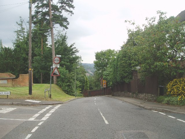
Image: © Nigel Freeman Taken: 3 Jul 2005
This road is steep and on the bends quite narrow but a useful road to get down from the high ground of Warlingham to the Caterham Valley.
Images are licensed for reuse under creativecommons.org/licenses/by-sa/2.0
Image Location


Leaflet Map data © OpenStreetMap
Latitude
51.301547
Longitude
-0.066307