A500 - A53 (Etruria Road) junction bridges
Introduction
The photograph on this page of A500 - A53 (Etruria Road) junction bridges by Peter Whatley as part of the Geograph project.
The Geograph project started in 2005 with the aim of publishing, organising and preserving representative images for every square kilometre of Great Britain, Ireland and the Isle of Man.

There are currently over 7.5m images from over 14,400 individuals and you can help contribute to the project by visiting https://www.geograph.org.uk
A500 - A53 (Etruria Road) junction bridges
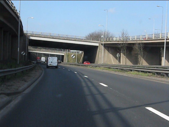
Image: © Peter Whatley Taken: 24 Mar 2011
A classic UK roundabout junction, the slip road viaducts are an interesting feature, making a change from the more common "slab and fill". The intersection marks the end of central Stoke's closely-spaced series of junctions, so an increase in speed to 70mph is permitted ahead.
Images are licensed for reuse under creativecommons.org/licenses/by-sa/2.0
Image Location
Latitude
53.019582
Longitude
-2.204038