Dead tree on Polcrebo Downs
Introduction
The photograph on this page of Dead tree on Polcrebo Downs by Rod Allday as part of the Geograph project.
The Geograph project started in 2005 with the aim of publishing, organising and preserving representative images for every square kilometre of Great Britain, Ireland and the Isle of Man.

There are currently over 7.5m images from over 14,400 individuals and you can help contribute to the project by visiting https://www.geograph.org.uk
Dead tree on Polcrebo Downs
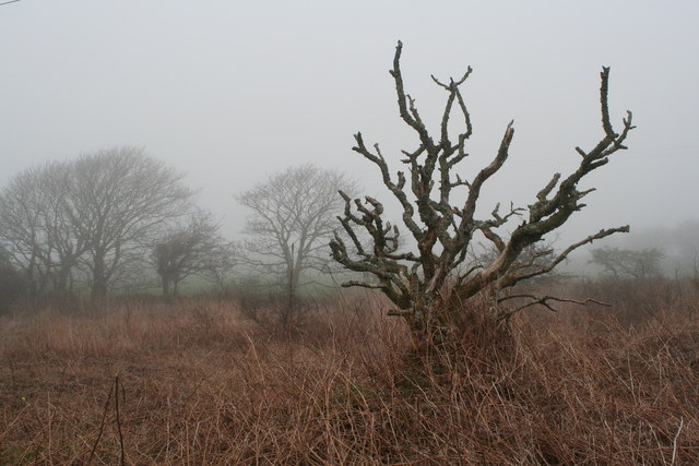
Image: © Rod Allday Taken: 30 Mar 2011
This rough heathland area of poor soil has possibly arisen as a result of the nearby historic mining activity.
Images are licensed for reuse under creativecommons.org/licenses/by-sa/2.0
Image Location
Latitude
50.152274
Longitude
-5.290744