River Findhorn near Broom of Moy
Introduction
The photograph on this page of River Findhorn near Broom of Moy by Alan hodgson as part of the Geograph project.
The Geograph project started in 2005 with the aim of publishing, organising and preserving representative images for every square kilometre of Great Britain, Ireland and the Isle of Man.

There are currently over 7.5m images from over 14,400 individuals and you can help contribute to the project by visiting https://www.geograph.org.uk
River Findhorn near Broom of Moy
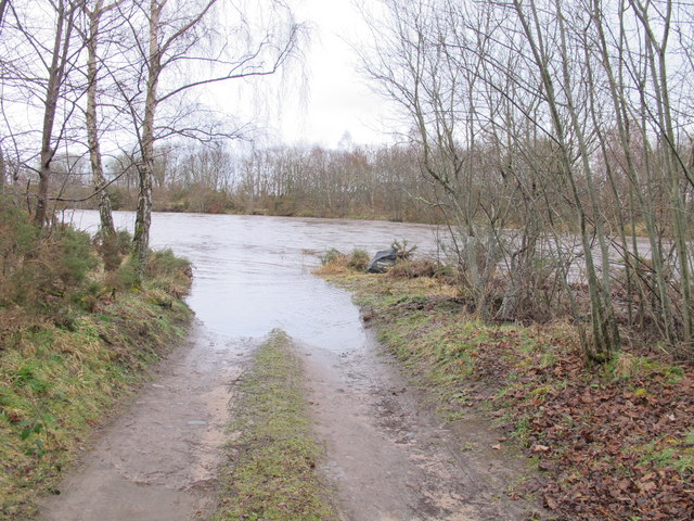
Image: © Alan hodgson Taken: 22 Mar 2011
Flooded access track leading to Gordon's Pool. The gauge was reading 2.1m at the time.
Images are licensed for reuse under creativecommons.org/licenses/by-sa/2.0
Image Location


Leaflet Map data © OpenStreetMap
Latitude
57.61381
Longitude
-3.635001