A50 descending toward Normacot
Introduction
The photograph on this page of A50 descending toward Normacot by Peter Whatley as part of the Geograph project.
The Geograph project started in 2005 with the aim of publishing, organising and preserving representative images for every square kilometre of Great Britain, Ireland and the Isle of Man.

There are currently over 7.5m images from over 14,400 individuals and you can help contribute to the project by visiting https://www.geograph.org.uk
A50 descending toward Normacot
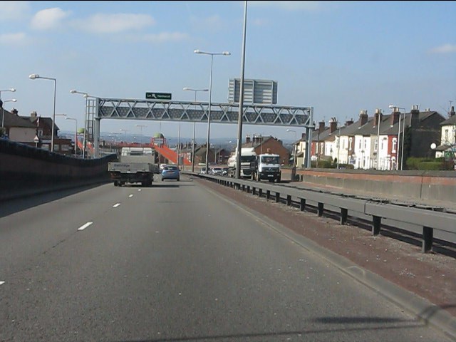
Image: © Peter Whatley Taken: 24 Mar 2011
The photo illustrates some of the destruction to the local area wrought by the A50 dualling scheme. A crying shame that the earlier proposal for the M64 was not implemented instead (see http://pathetic.org.uk/unbuilt/m64/ for details).
Images are licensed for reuse under creativecommons.org/licenses/by-sa/2.0
Image Location
Latitude
52.980868
Longitude
-2.115088