Padlocked gates to abandoned Ringland Allotments, Newport
Introduction
The photograph on this page of Padlocked gates to abandoned Ringland Allotments, Newport by Jaggery as part of the Geograph project.
The Geograph project started in 2005 with the aim of publishing, organising and preserving representative images for every square kilometre of Great Britain, Ireland and the Isle of Man.

There are currently over 7.5m images from over 14,400 individuals and you can help contribute to the project by visiting https://www.geograph.org.uk
Padlocked gates to abandoned Ringland Allotments, Newport
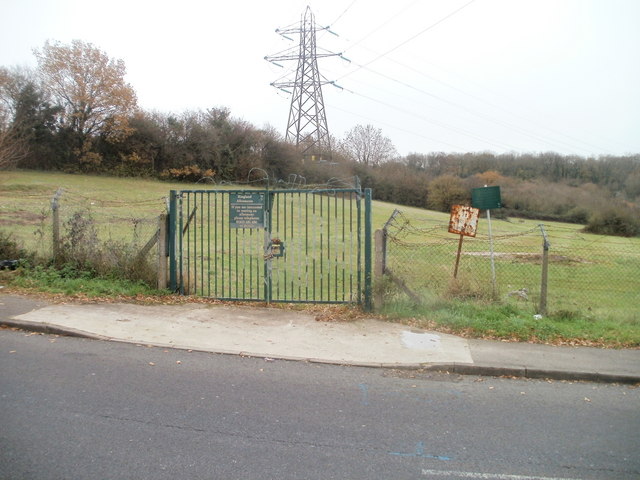
Image: © Jaggery Taken: 26 Nov 2010
Viewed across Cot Hill, near its junction with Ringland Way. The sign shows Ringland Allotments, but the former allotment plots are now covered by grass.
Images are licensed for reuse under creativecommons.org/licenses/by-sa/2.0
Image Location
Latitude
51.591721
Longitude
-2.922367