A bridge on Tews Lane as seen from downstream
Introduction
The photograph on this page of A bridge on Tews Lane as seen from downstream by Roger A Smith as part of the Geograph project.
The Geograph project started in 2005 with the aim of publishing, organising and preserving representative images for every square kilometre of Great Britain, Ireland and the Isle of Man.

There are currently over 7.5m images from over 14,400 individuals and you can help contribute to the project by visiting https://www.geograph.org.uk
A bridge on Tews Lane as seen from downstream
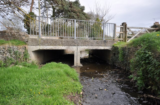
Image: © Roger A Smith Taken: 4 Apr 2011
This bridge appears to be next to the original bridge and may have been necessary due to increased water draining into the stream from the recently constructed Roundswell Village.
Images are licensed for reuse under creativecommons.org/licenses/by-sa/2.0
Image Location
Latitude
51.070646
Longitude
-4.09767