Junction of Marsh Lane (restricted byway) and Benson Lane
Introduction
The photograph on this page of Junction of Marsh Lane (restricted byway) and Benson Lane by Roger Templeman as part of the Geograph project.
The Geograph project started in 2005 with the aim of publishing, organising and preserving representative images for every square kilometre of Great Britain, Ireland and the Isle of Man.

There are currently over 7.5m images from over 14,400 individuals and you can help contribute to the project by visiting https://www.geograph.org.uk
Junction of Marsh Lane (restricted byway) and Benson Lane
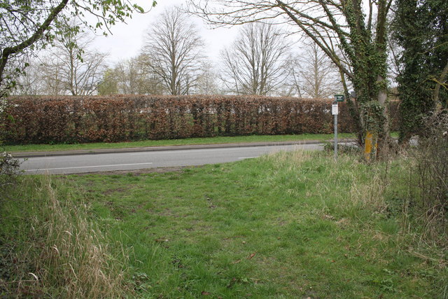
Image: © Roger Templeman Taken: 4 Apr 2011
The beech hedge on the far side of Benson Lane is the boundary of the Centre for Ecology and Hydrology.
Images are licensed for reuse under creativecommons.org/licenses/by-sa/2.0
Image Location
Latitude
51.601772
Longitude
-1.109532