Admiralty Way, Pembroke Dock
Introduction
The photograph on this page of Admiralty Way, Pembroke Dock by Humphrey Bolton as part of the Geograph project.
The Geograph project started in 2005 with the aim of publishing, organising and preserving representative images for every square kilometre of Great Britain, Ireland and the Isle of Man.

There are currently over 7.5m images from over 14,400 individuals and you can help contribute to the project by visiting https://www.geograph.org.uk
Admiralty Way, Pembroke Dock
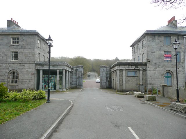
Image: © Humphrey Bolton Taken: 31 Mar 2011
This road narrows at a gateway between buildings before continuing to Fort Road.
Images are licensed for reuse under creativecommons.org/licenses/by-sa/2.0
Image Location
Latitude
51.693085
Longitude
-4.953045